
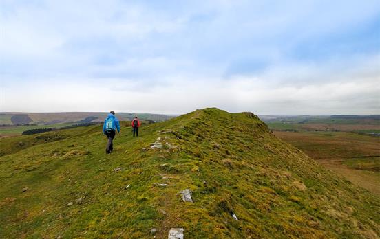
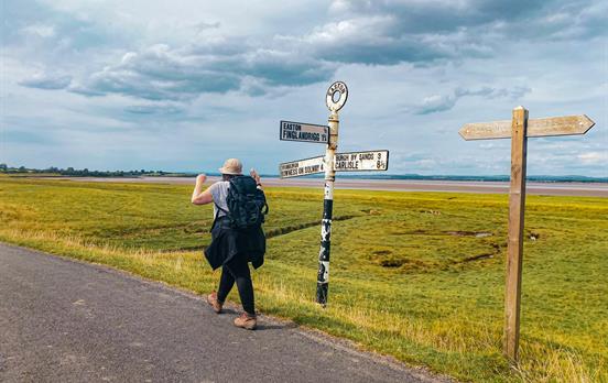
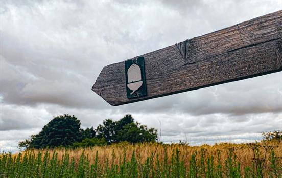
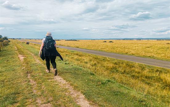
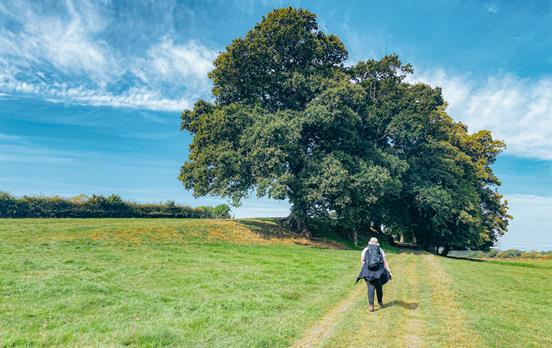
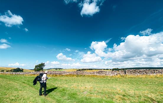
If you find yourself a bit overwhelmed when you first open a map, struggling to decipher all the squiggles and tiny symbols, fear not, Macs is here to help. Read on to (re)discover the basics of map reading, so you can explore the great outdoors with confidence. The most frequently used maps in the UK are Ordnance Survey, or OS, maps, most often at a scale of 1:25000. It is important to note that different types of maps might use different symbols or colours to denote different things.

Each map comes with a key. This contains a lot of useful information which will help you in reading the map. Some of the most prominent features you will see on your map include:
- Different types of road are depicted in different colours. The main ones to be aware of are: chunky blue lines showing motorways, magenta coloured lines showing dual carriageways or main roads, orange ones showing secondary roads, and dashed lines which denote minor roads.
- On an OS 1:25000 map, public right of way footpaths are green. Footpaths shown in black may not be a public right of way. It might be an idea to check locally which paths you are allowed to use – they may be private roads for a good reason, such as an angry bull in a nearby field

Image from OS Explorer 191 Banbury, Bicester & Chipping Norton
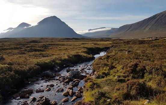
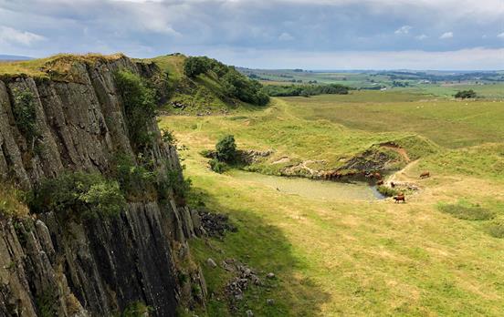
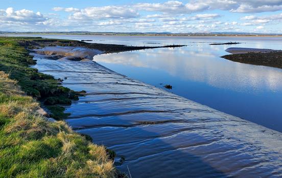
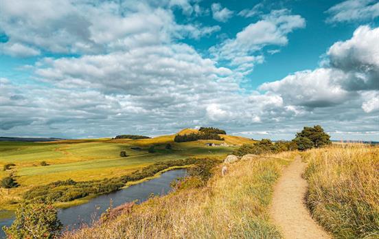
- Rivers and streams. Keep an eye out for these as they can be extremely helpful in figuring out where you are! Rivers and streams are shown by blue lines of varying thickness depending on the width of the waterway.
- Buildings. These are generally shown by small black squares, though some types of buildings, such as churches or lighthouses, have special designated symbols.
- Tourism and leisure. Small blue symbols denote a wide range of points of interest which include camping areas, museums, picnic sites, castles, viewpoints and tourist information centres.

Image from OS Explorer 191 Banbury, Bicester & Chipping Norton
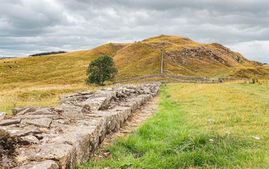
- These light brown lines show the height of the land above sea level. The map key will tell you the height between the contour lines, which is normally five metres, or ten metres in particularly mountainous areas. Understanding contour lines lets you visualise the shape of the land.

Image from OS Explorer 191 Banbury, Bicester & Chipping Norton
For more information, please take a look at OS's own excellent map reading guide. They also have a guide for young map enthusiasts, and a video series hosted by Simon King.
Remember maps can have different symbols for features so it is essential you familiarise yourself with the key before setting off.

Happy mapping! Next week we’ll be looking at how to use grid references. Learn more about Ordnance Survey's new #GetOutside campaign here.


FTP/routeimagegallery/Day3-Falmouth-Portloe34-rsz2-18102019164849752.JPG)
FTP/routeimagegallery/shutterstock-408721828-betweenpolperroandlooe-tallandBay-rsz2-18102019164854196.jpg)
FTP/routeimagegallery/ss-1500-charlestown-harour-entrance-rsz2-18102019164856307.jpg)
FTP/routeimagegallery/shutterstock-438838750-Looe-rsz2-18102019164857466.jpg)
FTP/routeimagegallery/ss-1500-fowey-rsz2-18102019164856935.jpg)
FTP/routeimagegallery/Day3-Falmouth-Portloe41-rsz2-18102019164851114.JPG)
FTP/routeimagegallery/Day3-Falmouth-Portloe43-rsz2-18102019164852301.JPG)
FTP/routeimagegallery/coverphoto-rsz2-18102019164854901.jpg)
FTP/routeimagegallery/shutterstock-459485770-stmawescastle-rsz2-18102019164855636.jpg)
FTP/routeimagegallery/Day3-Falmouth-Portloe43-rsz2-07112019133532383.JPG)


 Australia
 New Zealand
 South Africa
 European Union