
Now we've learned the basic techniques (map symbols, grid references, and orienting your map), it's time to move on to the more advanced techniques. This week, we'll be learning how to pinpoint your location on a map. There are a few different ways to do this.
Using transit lines
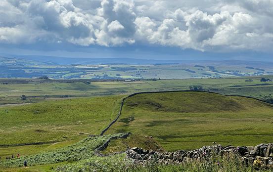
Where there is a point on the map where two easily discernible features will line up with one another, you can mark a transit line, which runs through these two features as well as the track you are walking on. Whilst you're walking along the track and you come across the point where the two features line up, you will be able to pinpoint where you are. In the image below, if we were following the track marked in blue and choose the edge of the wood and the farmhouse (denoted by yellow arrows) as our two features, we can mark a transit line as shown below in red. Therefore, we can pinpoint our exact location on the map when the two features line up.

It is important to note that this method can only be used when you are on a marked track.
Using back bearings
If you can see a feature that is identifiable on the map and you have a compass, you can use back bearings to pinpoint your location. Calculate the direction of the feature from your current location. You can do this by pointing the direction of travel arrow at the map feature. Then rotate the casing of the compass so the orienting lines line up with the red half of the needle. Now place the compass on the map, matching the orienting line with the eastings (the north-south blue grid lines). Next, slide the compass across the map until the edge of the compass plate is on the feature you have selected. Draw a line on the map across both the feature and your track.
The point where the line crosses your track will show your approximate location.

Using the above image, let's imagine we are walking along the blue track, and want to use the small area of woodland, circled in red, to pinpoint our location. Having identified the direction of the feature from our current location, we place the compass on the map and draw a line (marked on the image below in yellow) along the base plate of the compass. Where this line crosses the track (marked with a black dot) is our approximate location.

Using aspect of slope
If you know which square kilometre you are in on the map, but need to know a more precise location, you can use the slopes in your immediate area to help find yourself! While standing at the top of a slope, discern using your compass what direction the hill is sloping in. The reading on the compass at this point is known as the aspect of slope. Next, take a look at the map and find the slope in your km square that has the same aspect.

In the image above, if we find ourselves on a slope with a westerly aspect, we can deduce that our location is on Fern Hill, as opposed to the hill on the left of the square. Next week we'll be learning how to measure distance travelled.
For more detailed information on how to pinpoint your location, check our OS's map reading guide or have a look at their great video guides with Simon King which cover a range of mapping topics.


 Australia
 New Zealand
 South Africa
 European Union