16 things to know about the UK’s trig points
This year, on April 18, marks the 80th anniversary of the first trig pillar. A common feature of the British countryside and often spotted by walkers and cyclists, we reveal 16 things to know about the trig pillar.
- This trig pillar, in a field in Cold Ashby, Northamptonshire, was the first used for the retriangulation of Great Britain.
- More than 6,500 trig pillars were built across the country and used for the retriangulation between April 18, 1936, and June 4, 1962, when the trig pillar at Thorney Gale, Westmorland, was used for the final calculation.
- Trig pillars are mostly made of cast concrete but a few are built from local stone cemented together.
- Like an iceberg, there is more of trig pillar below the surface than above it.
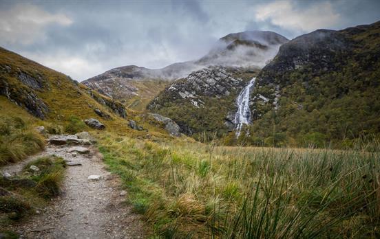
- The highest trig pillar sits on the top of Ben Nevis.
- The lowest trig pillar is at Little Ouse, sited at -1m.
- It was in 1935 that Ordnance Survey, in a mapping project led by Brigadier Martin Hotine, decided to implement a new control network for Great Britain and at the same time unify the mapping from local county projections on to a single national datum, projection, and reference system. Thus, the OSGB36 datum and The National Grid were born, both of which are still with us today.

- Retriangulation helped in the rewriting of the British map, as we now know it. Triangulation is basically a mathematical process that makes accurate map-making possible. It works by determining the location of a point by measuring angles to it from known points at either end of a fixed baseline and, in this case, 6,500 trig pillars.
- Modern technologies now mean that the traditional trig pillar is obsolete in its original guise. They are no longer used to help shape our maps, although they still act as a beacon for walkers and cyclists.
- The modern equivalent of the trig is the OS Net network of 110 Global Navigation Satellite System (GNSS) receivers. The surveyors use OS Net and GNSS technology every day to instantly position new map details to within a few centimeters. What took many hours at Cold Ashby in 1936, can now be done in seconds and to a far greater degree of accuracy.
- Trig pillars are seen as quintessentially British and even made it onto Bill Bryson’s list of favourite British items in his 2015 book, The Road to Little Dribbling.
- Although 6,500-plus trig pillars were built, hundreds have been lost to housing developments, farming, coastal erosion, and other causes. The vast majority follow the standard Brigadier Hotine’s original design.
- In Scotland, there are some pillars called Vanessas, which are taller, cylindrical concrete pillars.
- There is also some uncertainty about exactly how many trig pillars exist. While the majority formed part of the retriangulation, some were installed for other reasons and are not included on OS maps.
- Trig pillars have become the focus of “collectors”. This is known as trig-bagging or trig-pointing, where people travel across the countryside spotting and recording as many as they can.
- Rob Woodall is set to have bagged all the trigs still standing. On April 17, 2016, he’ll bag his final trig after 14 years of trig-bagging.

Written by
FionaOutdoors

























STP/routeimagegallery/UmbracoBannerImageUmbraco-DJWC2501-6804-rsz2-22092023155148369.jpg)
STP/routeimagegallery/UmbracoBannerImageUmbraco-UnterkunftSt.IvesPednOlva2-rsz2-22092023155121501.jpg)
STP/routeimagegallery/PrimaryTourImage-SWCP-ZennornachStJust21-rsz2-22092023155417337.jpg)
STP/routeimagegallery/PrimaryTourImage-SWCP-StIves083-rsz2-22092023155532919.jpg)
STP/routeimagegallery/PrimaryTourImage-SWCP-StIvesnachZennor-GurnardsHeadBBZennor85-rsz2-22092023155527607.jpg)
STP/routeimagegallery/UmbracoBannerImageUmbraco-DJWC2396-6787-rsz2-22092023155431836.jpg)
STP/routeimagegallery/UmbracoBannerImageUmbraco-SWCP-StIves022-rsz2-22092023155036361.jpg)
STP/routeimagegallery/21-DinneratPortreathArms-1500x1000-rsz2-18102019164520717.jpg)
STP/routeimagegallery/PrimaryTourImage-GwynverBeachSennen-rsz2-22092023155645892.jpg)
STP/routeimagegallery/UmbracoBannerImageUmbraco-SWCP-PorthcurnonachPenzance-Penberth16-rsz2-22092023155207449.jpg)












 Australia
 New Zealand
 South Africa
 European Union