
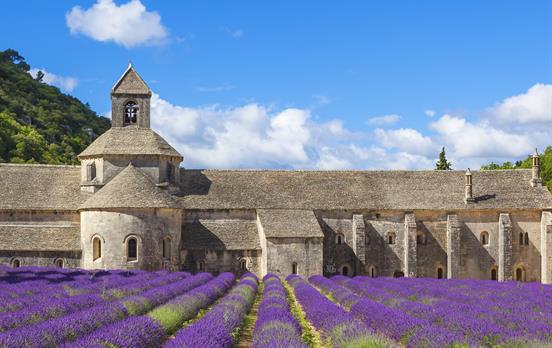
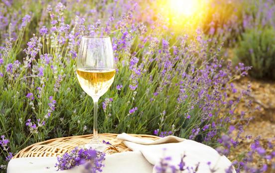
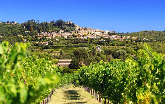
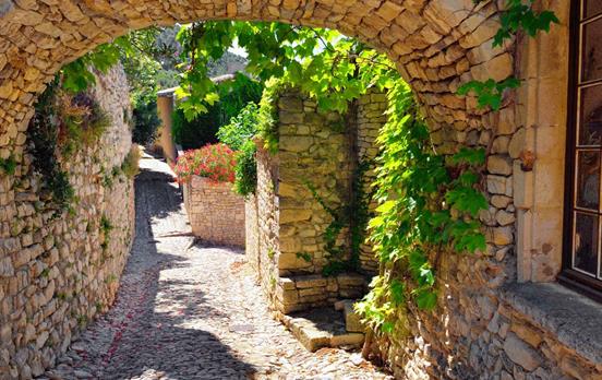
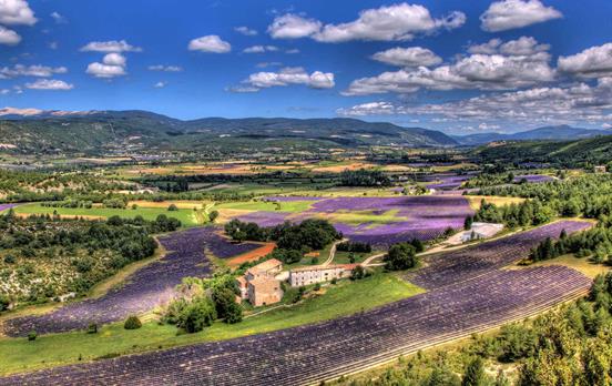
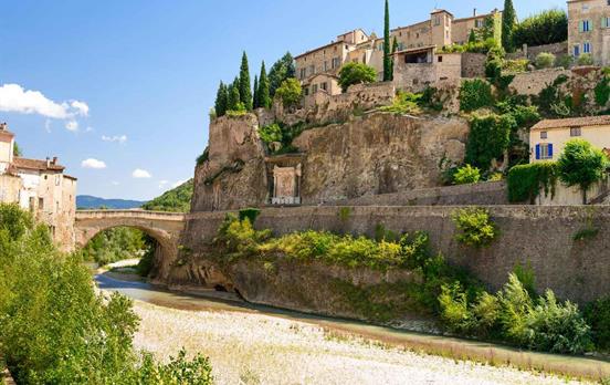
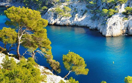
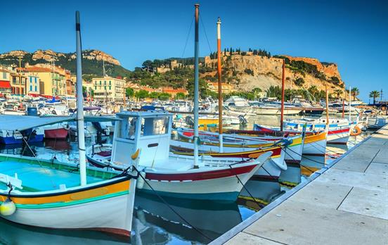
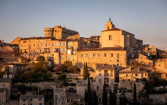
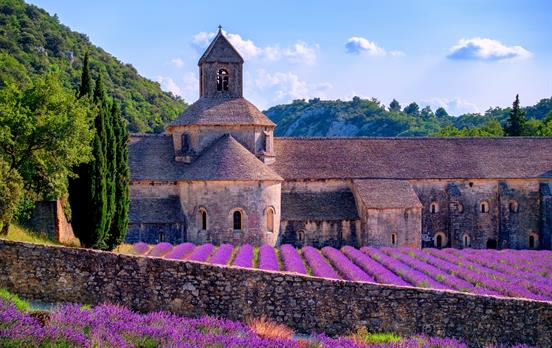
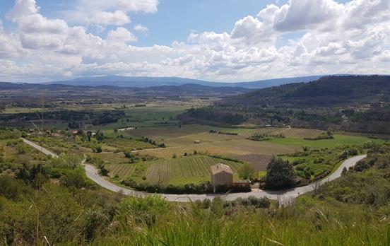
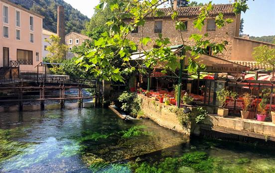
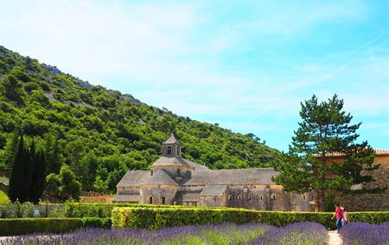
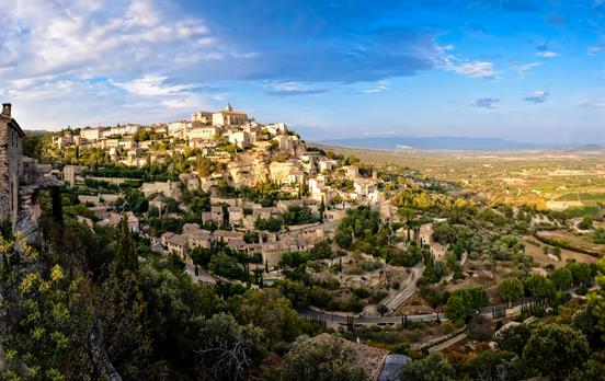
Sun-drenched villages, fragrant lavender fields, lively markets, and some of the most inviting trails in France—Provence was made for slow, meaningful adventures. Located in the sunny south of France, stretching from the Rhône Valley to the Mediterranean, Provence is just a short train ride from Paris or a hop from Nice and Marseille.
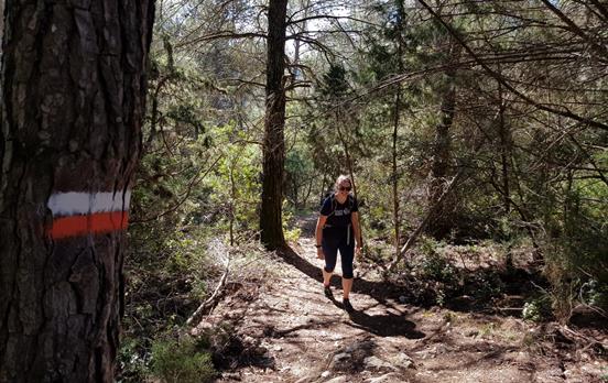
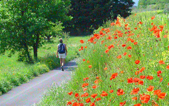
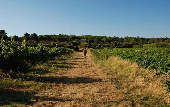
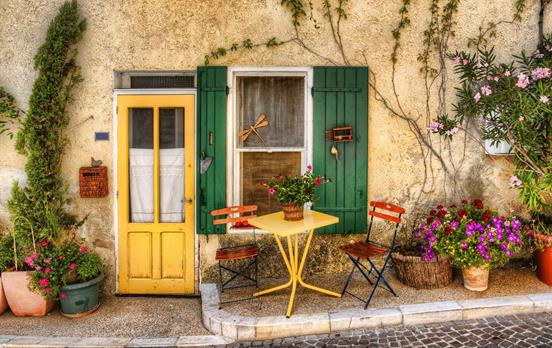
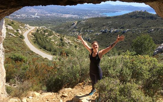
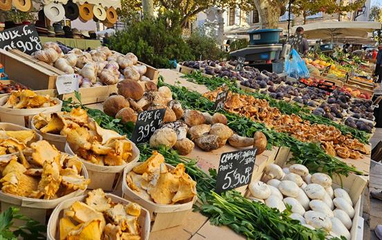
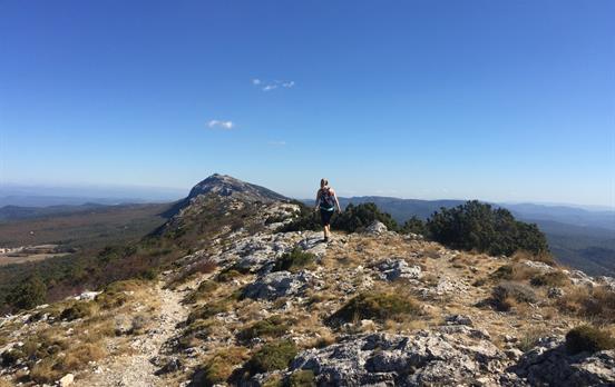
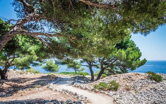
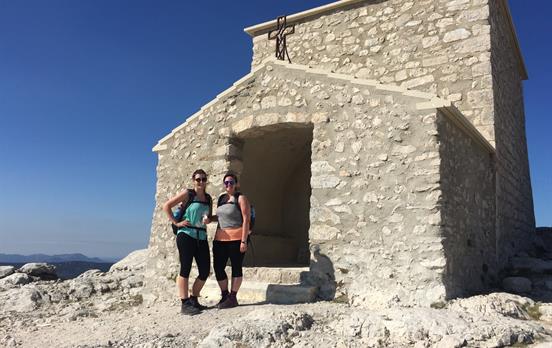
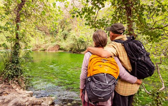
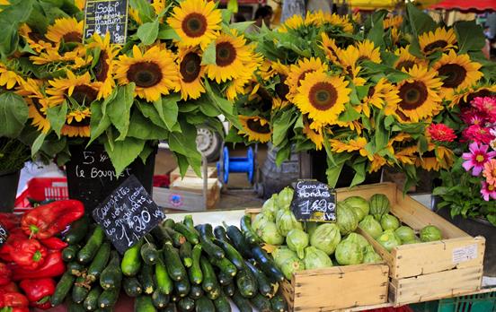
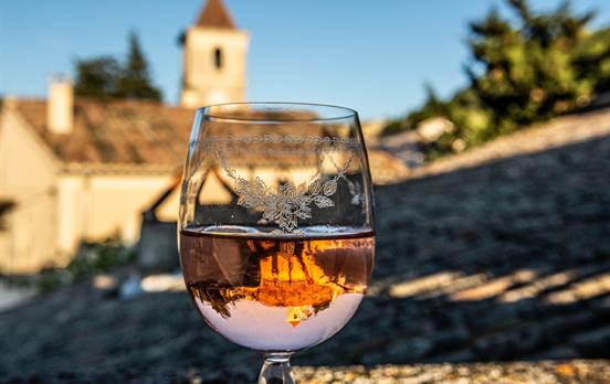
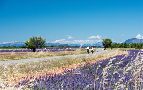
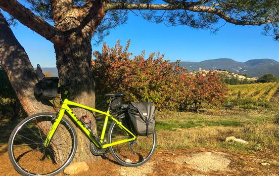
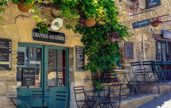
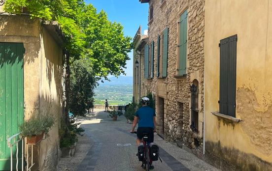
Whether you’re lacing up your boots or hopping on a bike, Provence is ideal for travelers who love mixing active days with authentic French culture. Walking or cycling here opens doors that most tourists miss—you’ll wander lavender-scented trails, swap smiles with locals at bustling markets, and feel that extra bit of satisfaction as you toast the day with a well-earned glass of rosé.
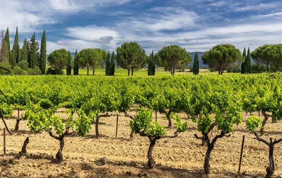
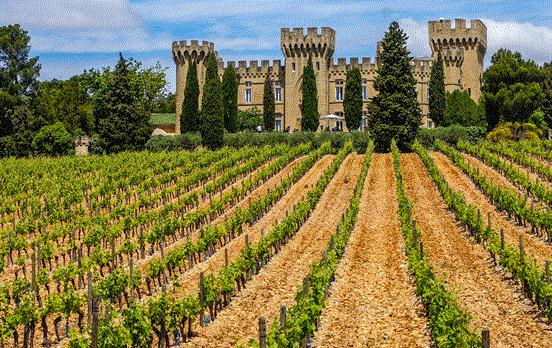
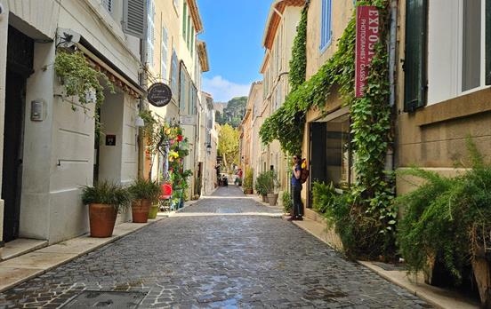
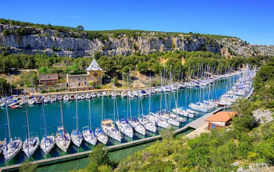
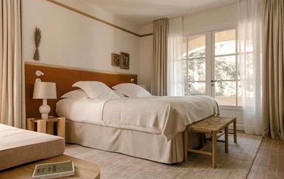
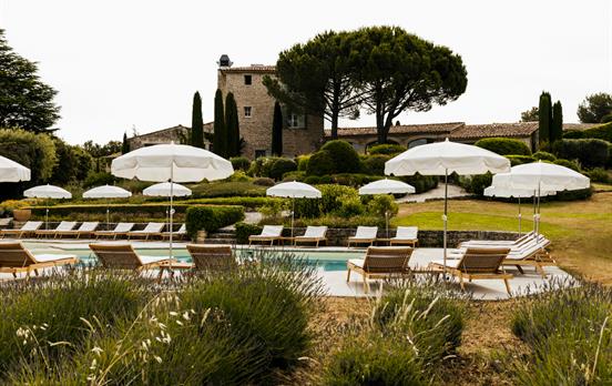
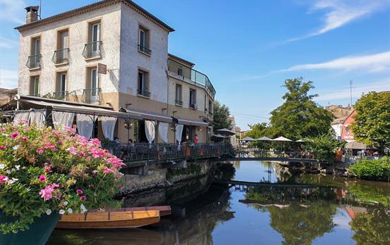
Macs Adventure travelers love Provence for its variety. Wander the cobbled lanes in a hilltop village, cycle past vineyards in Châteauneuf-du-Pape, or enjoy the salty air along the Mediterranean coast. With our self-guided Provence walking tours and Provence cycling tours, you choose the pace, and we handle the details. Our featured trips like Classic Provence, Provence: Villages & Vineyards, showcase the best of the region’s landscapes, food, and traditions—all while staying in handpicked, charming inns and boutique hotels.
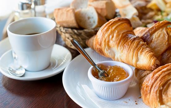
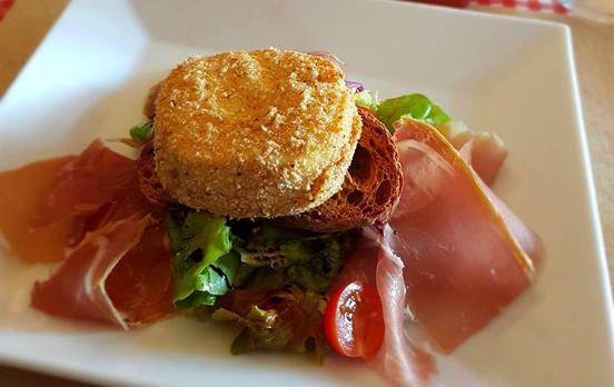
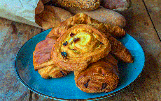
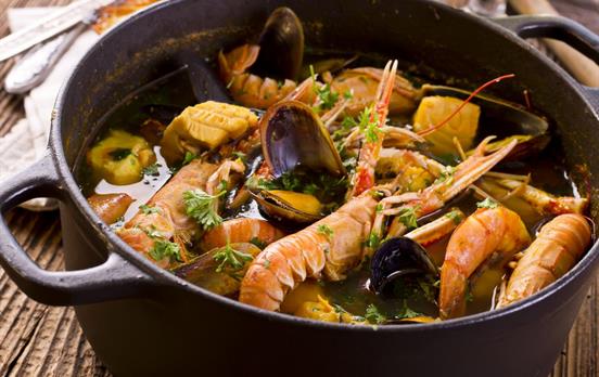
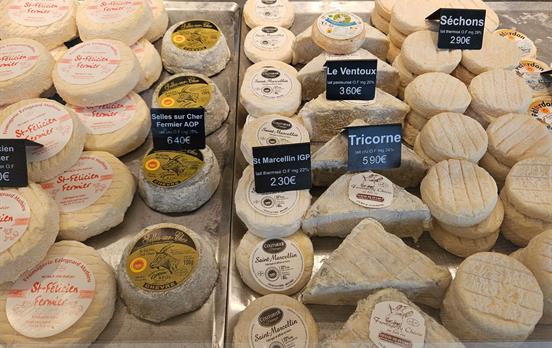
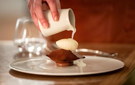
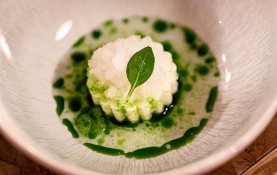
If you’ve ever dreamed of mornings in bustling French markets, afternoons exploring sunlit trails, and evenings savoring farm-fresh cuisine and local wines, Provence is calling.


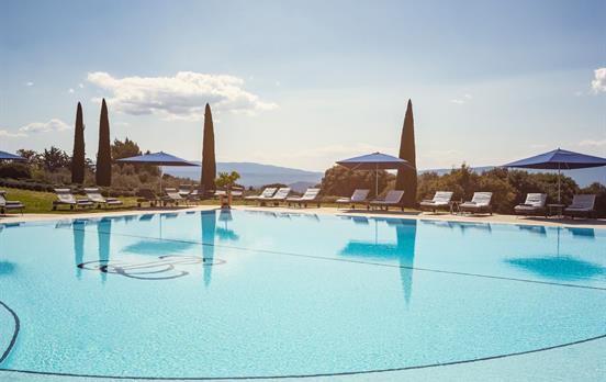
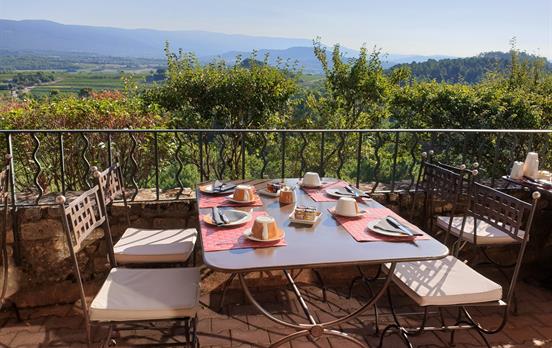
Our In Style trips offer an extra special experience, the perfect blend of activity and stylish accommodation. Enjoy some of the finest food and wine, and explore the landscapes and culture at your own pace. Browse our complete In Style range.


 Australia
 New Zealand
 South Africa
 European Union