
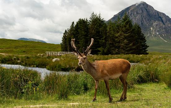
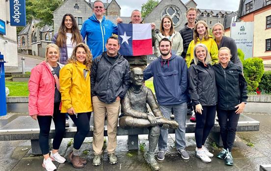
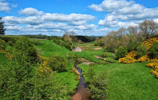
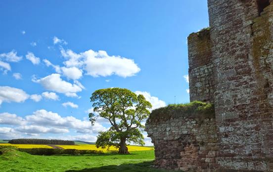
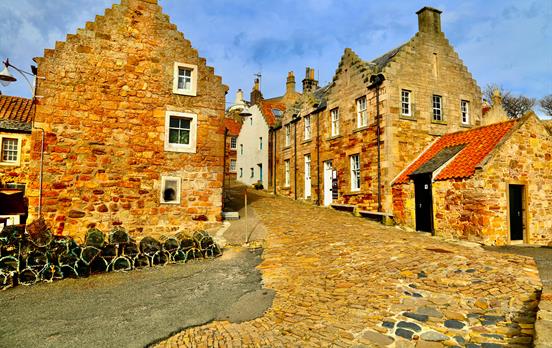
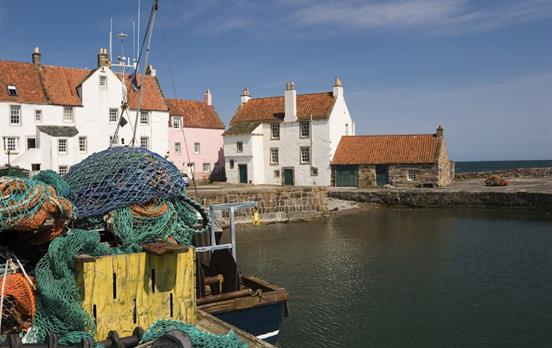
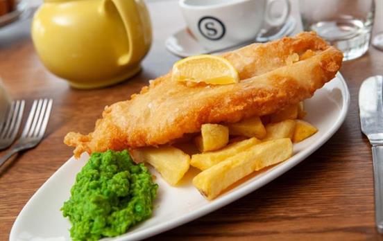
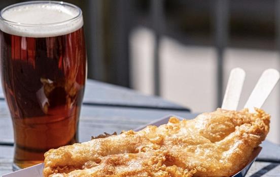
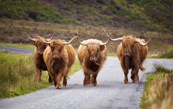
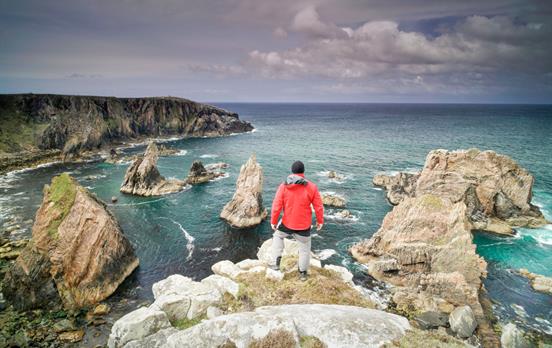
Discover the wild and magical landscapes of Scotland with Macs Adventure. At Macs Head Office in Glasgow, we are all extremely passionate about Scotland and have been crafting itineraries for our customers since 2003. We offer a variety of ways to travel, from self-guided Walking and Cycling holidays to Drive & Hike or Rail & Hike tours.
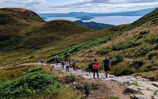
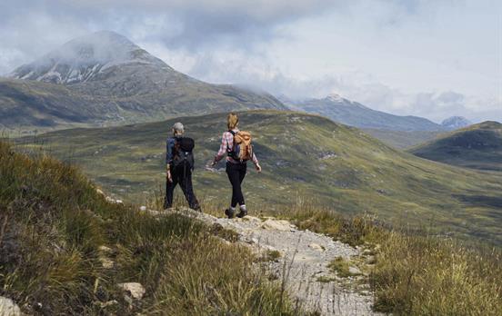
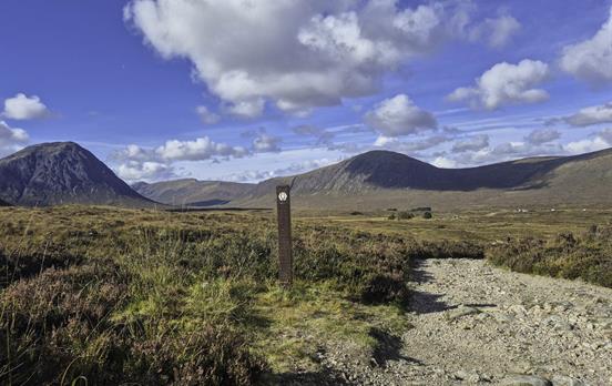
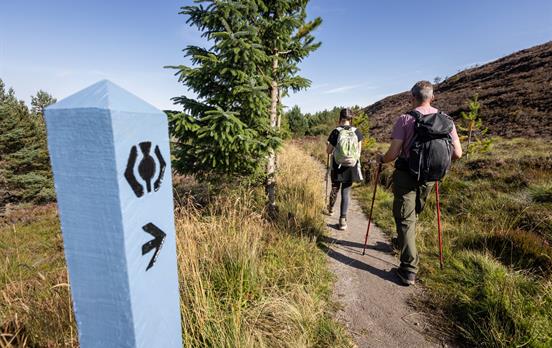
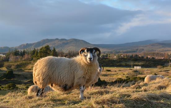
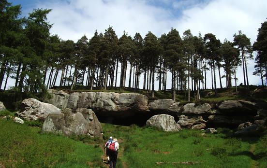
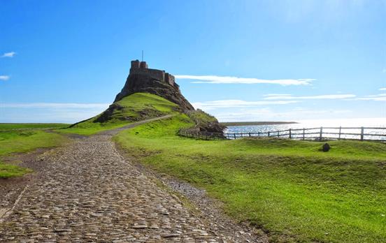
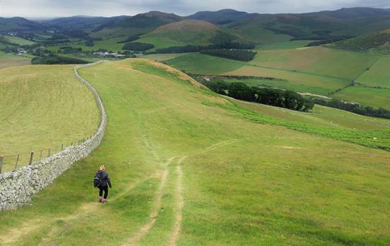
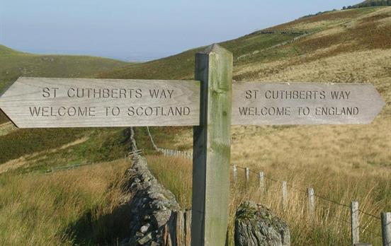
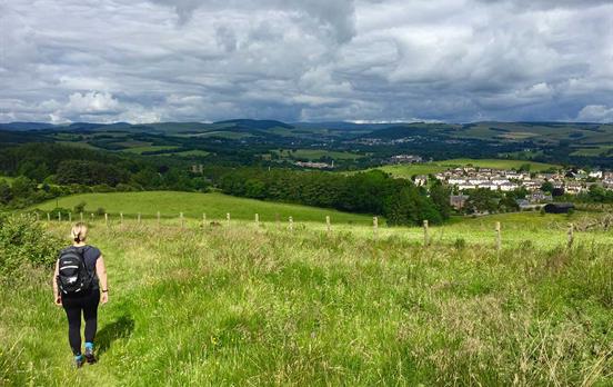
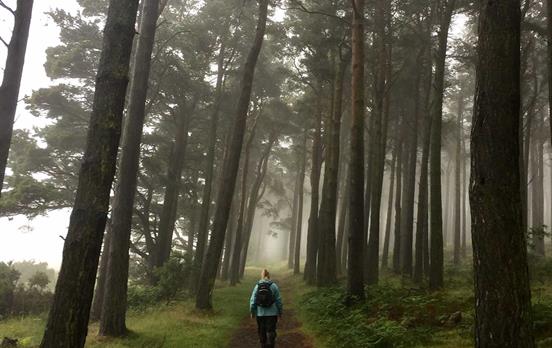
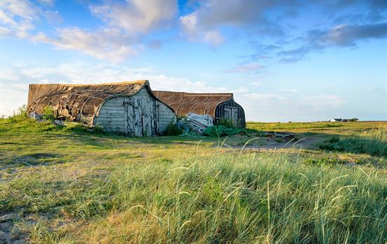
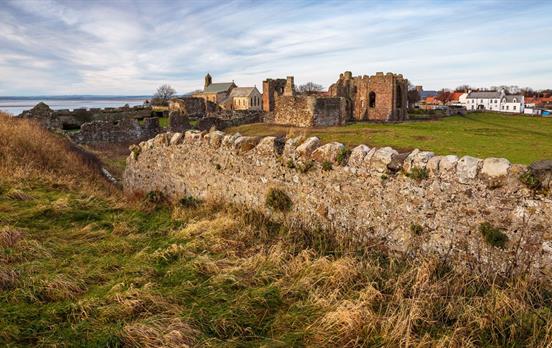
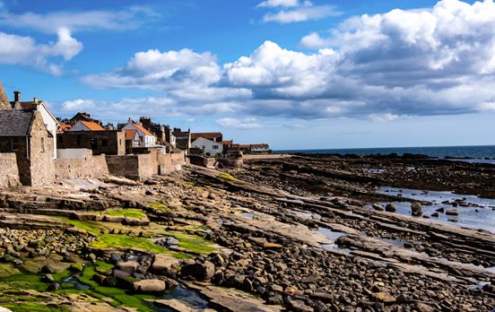
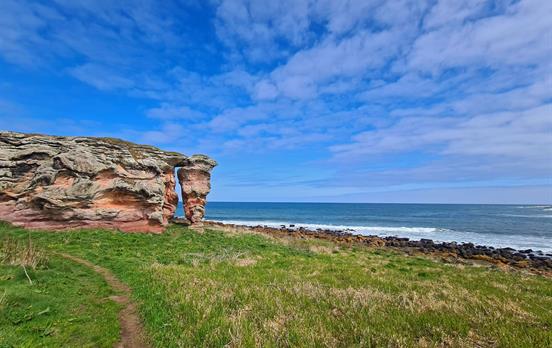
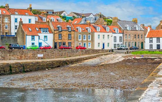
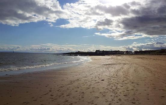
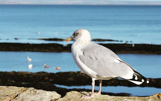
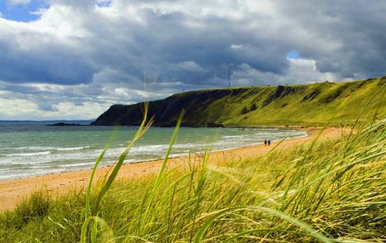
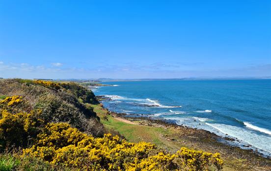
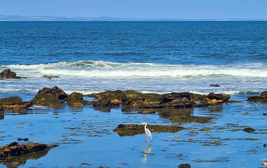
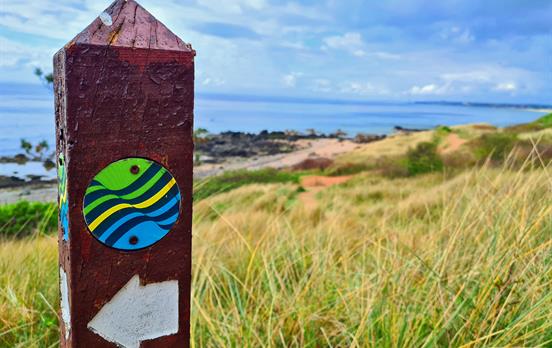
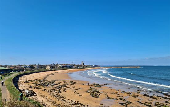
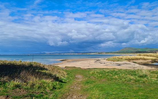
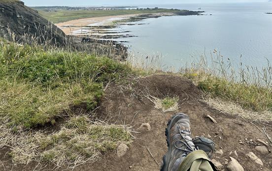
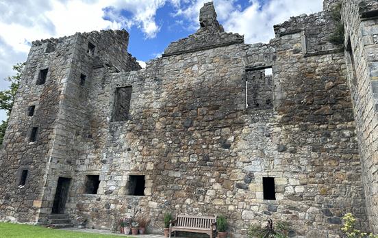
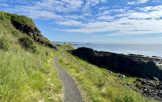
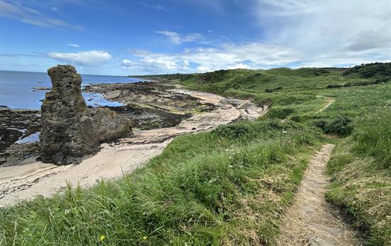
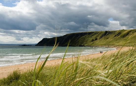
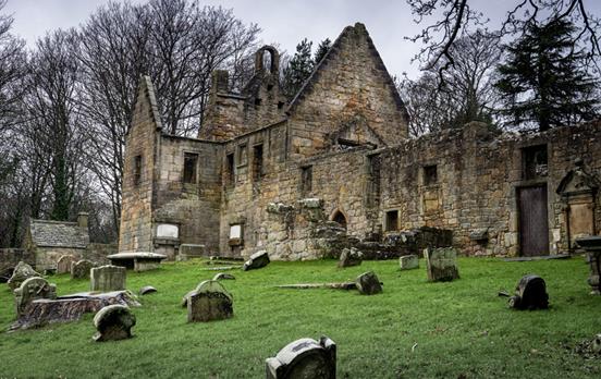
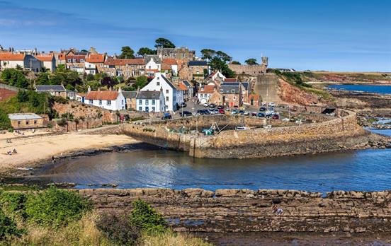
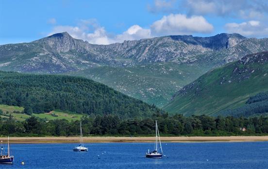
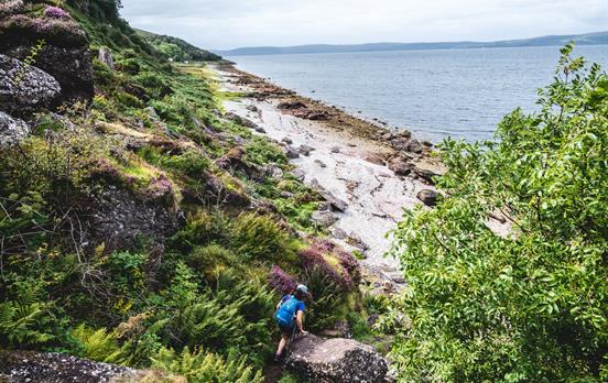
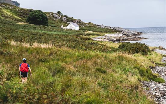
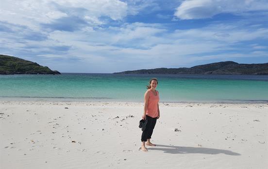
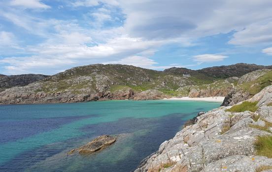
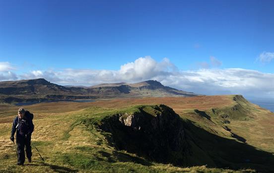
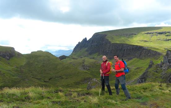
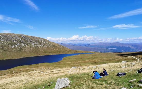
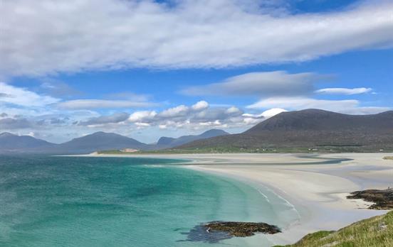
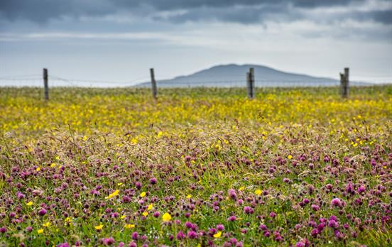
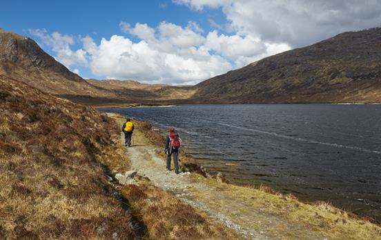
We offer all the classic walking trails of Scotland, including the iconic West Highland Way, the Great Glen Way and the increasingly popular pilgrim route, St Cuthbert's Way. For those looking to explore off the beaten path, trails like the Arran Coastal Way and Rob Roy Way unveil Scotland’s hidden treasures, with scenery that never ceases to amaze.
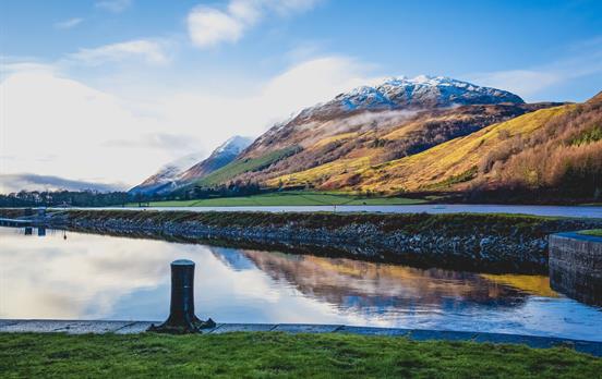
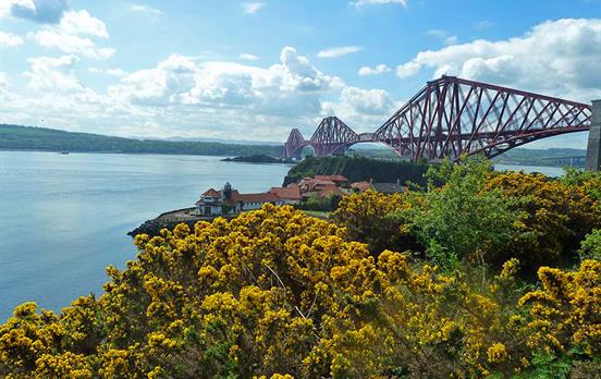
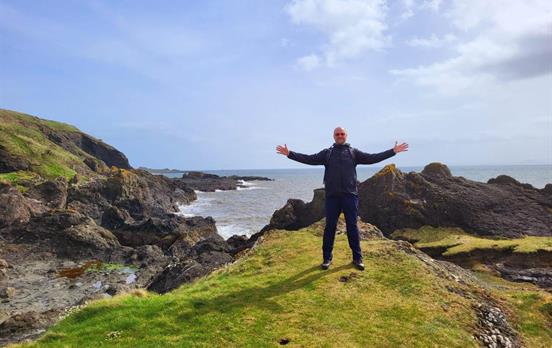
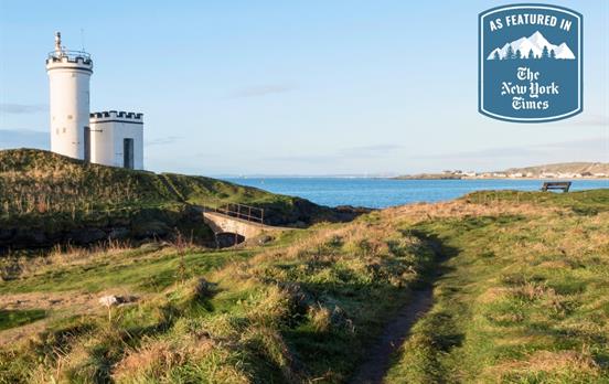
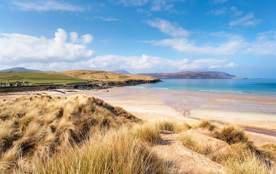
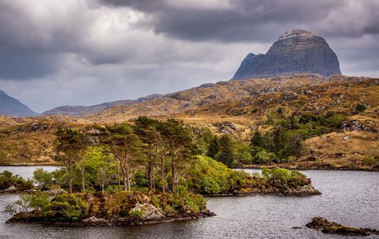
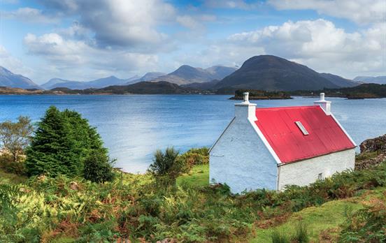
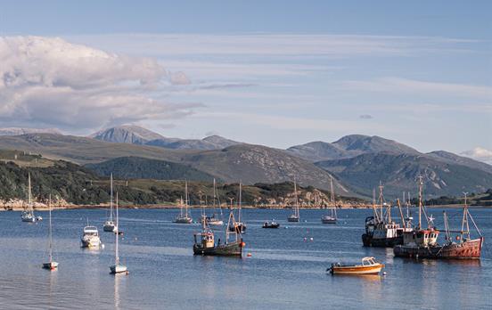
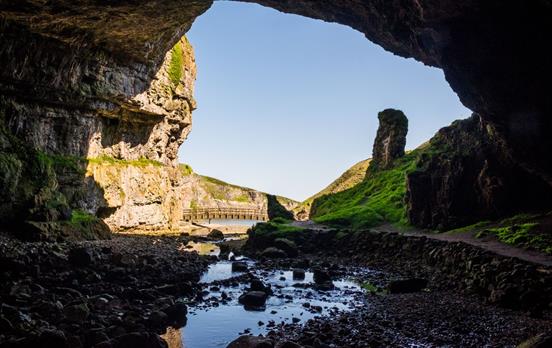
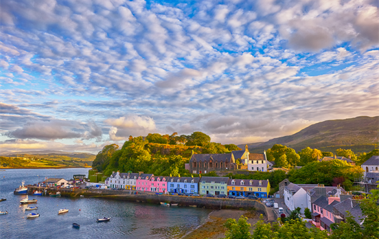
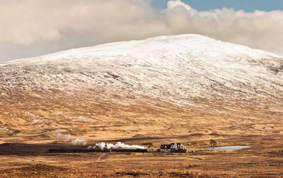
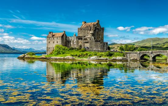
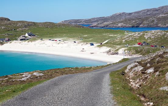
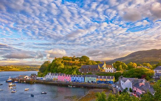
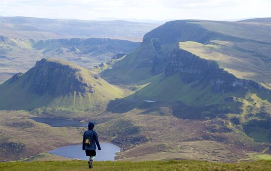
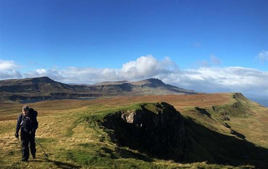
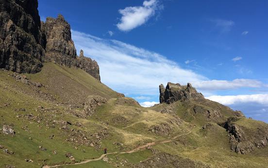
To explore Scotland in its entirety or to see just the best bits, look no further than our extensive range of Discovery tours, featuring our best-selling The Highlands and Isle of Skye Rail & Hike tour. For those who prefer the open road, why not look at one of our Drive and Hike tours such as the world-famous North Coast 500, where we seek out the best accommodation and provide recommended walking routes through our user-friendly smartphone navigation app.


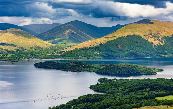
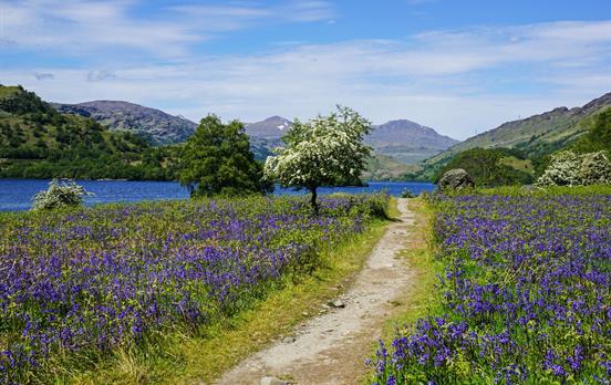
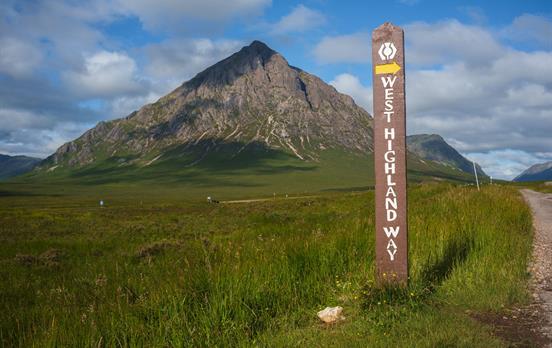
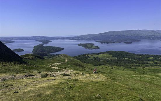
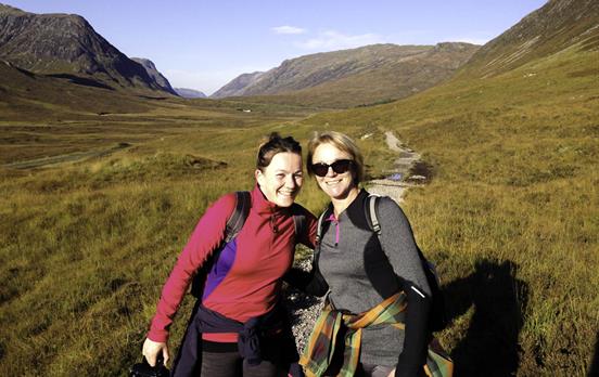
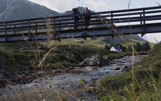
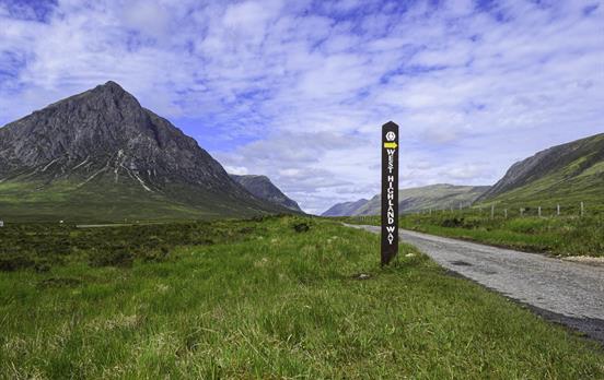
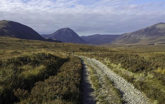
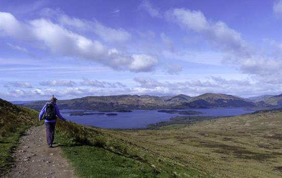
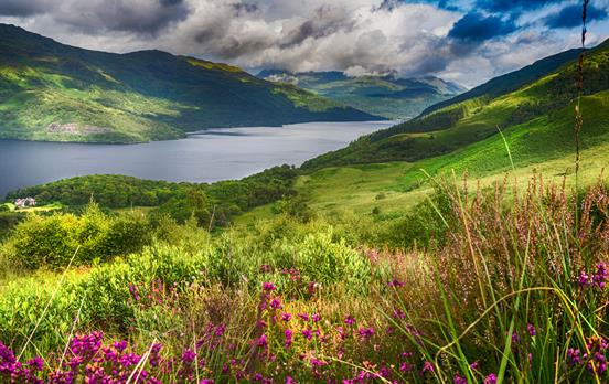
Scotland's most famous long-distance trail, the West Highland Way, travels its way north through verdant lowlands, along the bonnie banks of Loch Lomond, and on to moors and highlands steeped in turbulent clan history. The West Highland Way is the first trip Macs Adventure operated back in 2003 and remains one of our favourite and top-selling trips today.
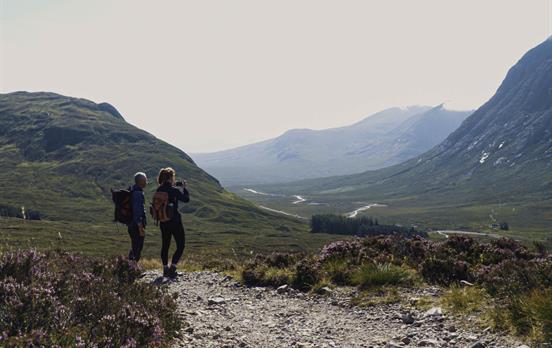
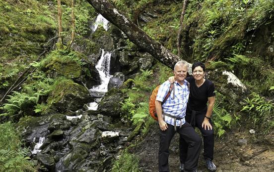
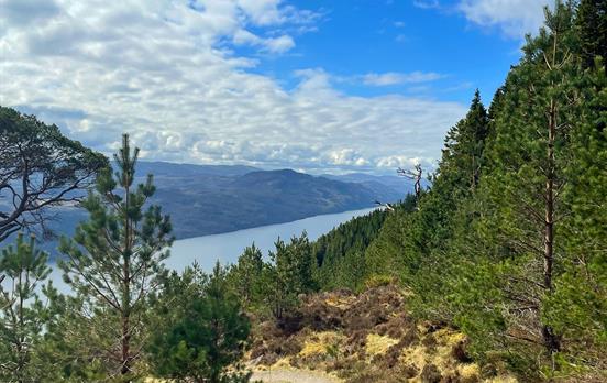
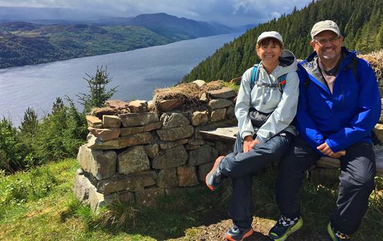
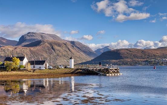
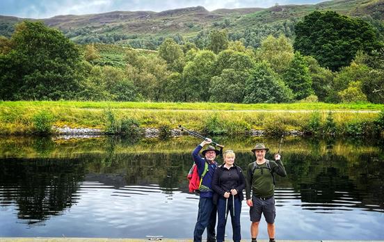
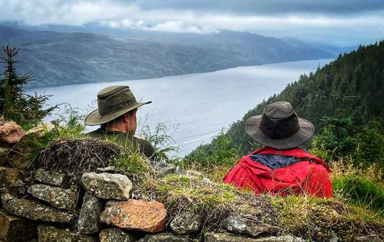
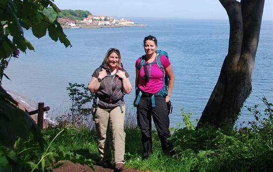
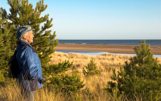
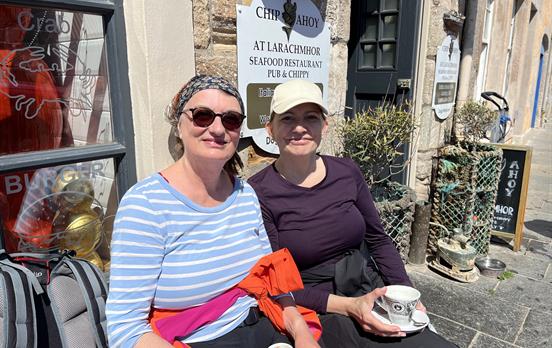
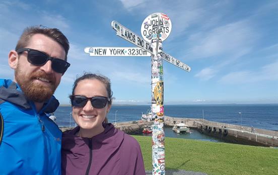
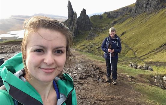
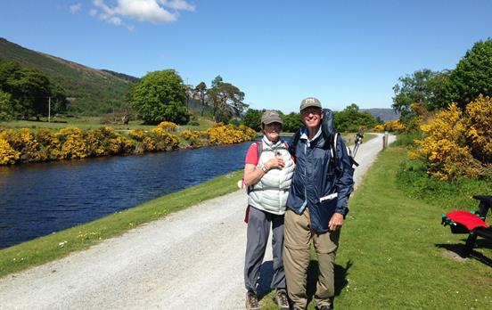
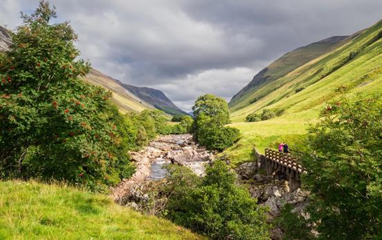
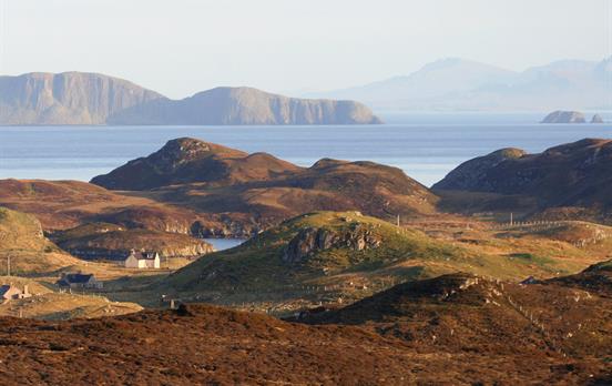
Join Kirsty and her dad on an unforgettable father-daughter adventure along Scotland’s iconic Great Glen Way! Experience the beauty and wonders of the Great Glen Way on this stunning 79-mile trail from Fort William to Inverness. Follow their journey along the shores of Loch Ness, through ancient forests, and past towering mountains in the heart of the Scottish Highlands.
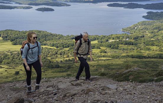
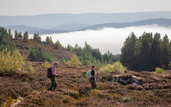
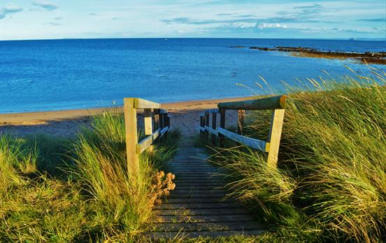
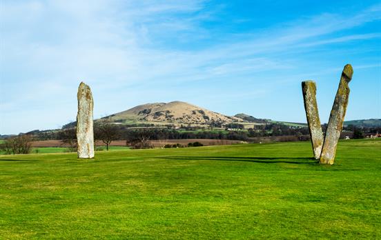
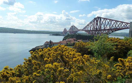
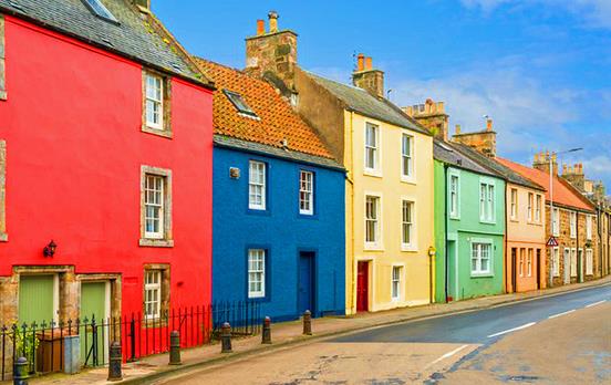
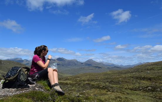
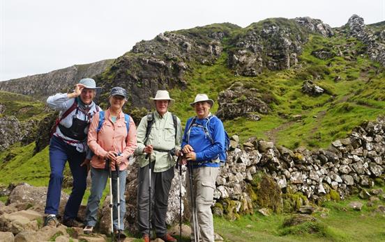
Explore Scotland's greatest routes by foot, the open road, or by rail. Discover breathtaking landscapes and enjoy rich authentic experiences at your own pace, with the people you care about the most on a Discovery Tour.


 Australia
 New Zealand
 South Africa
 European Union